NE India
Mount Saramati
Nagaland's highest peak, on the Myanmar frontier
Joli · CC BY-SA 4.0 · Commons
Nagaland
Challenging
At 3,826 metres, Mount Saramati is the highest peak in Nagaland and a great tri-junction summit on the India–Myanmar border, far out in the remote Kiphire district. The trek begins from Thanamir, a Yimchunger Naga village known as the 'apple village', and climbs through rhododendron and bamboo forest to a high base camp before the final push to the summit.
This is a serious, uncrowded wilderness trek for fit walkers — cold, remote and best done with a local guide and porters arranged through the village. The reward is a sea of Naga hills rolling away into Myanmar, snow on the ridges in winter, and the deep quiet of one of the least-visited corners of India.
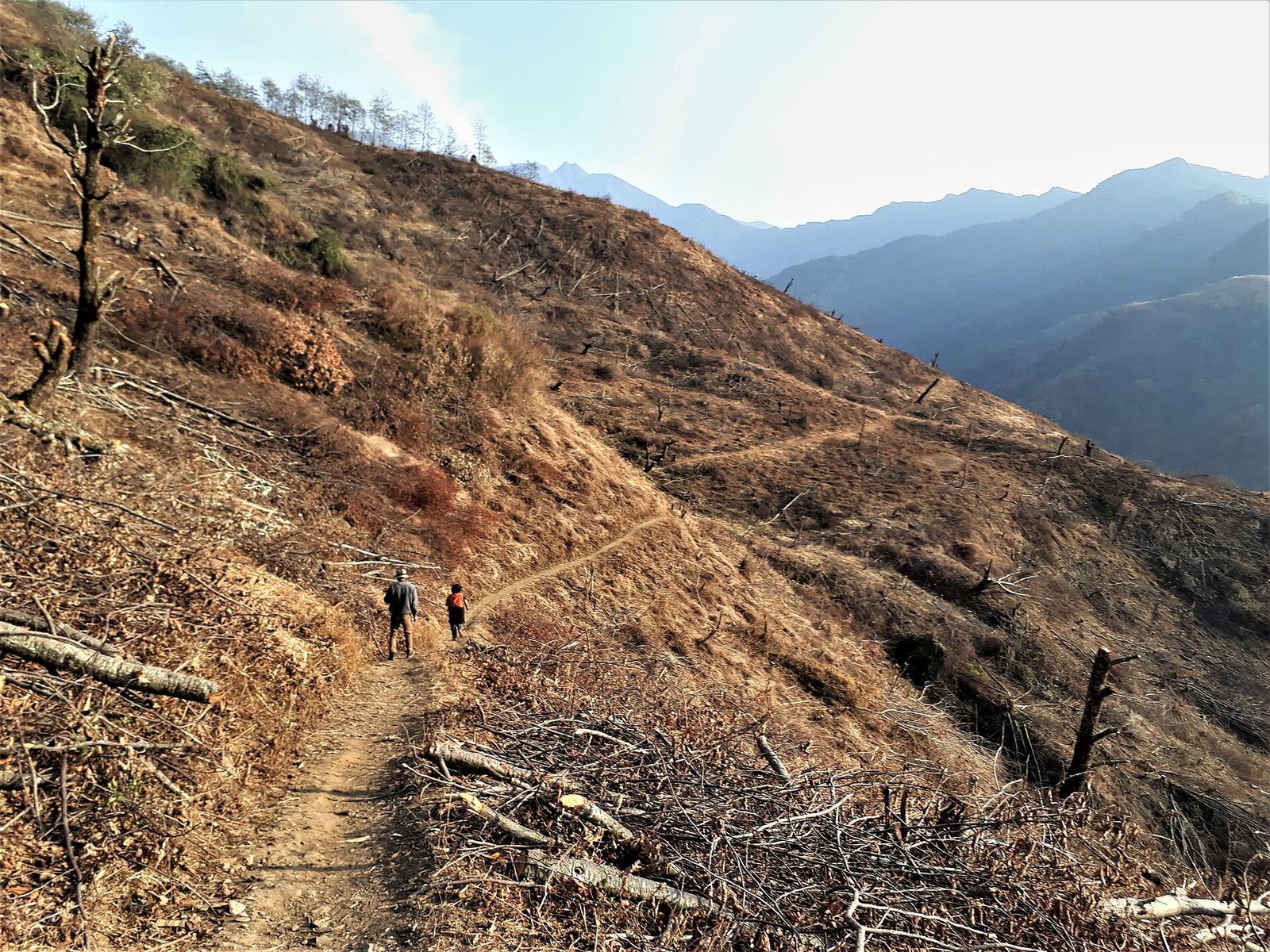
Photo: Joli · CC BY-SA 4.0 · Wikimedia Commons
The trek at a glance
GradeChallenging
Duration3–4 days
Best seasonOct–Nov & Apr–May (snow Dec–Mar)
BaseThanamir village, Kiphire (via Kohima/Dimapur)
Highlights
Why trek Mount Saramati
- The 3,826 m summit, the highest point in Nagaland
- Thanamir, the 'apple village', and its community homestays
- Rhododendron and bamboo forest, and winter snow on the ridges
- Views across the frontier into Myanmar's Naga hills
More treks