Gorichen & the Tawang high routes
High-altitude trekking below Arunachal's tallest peak
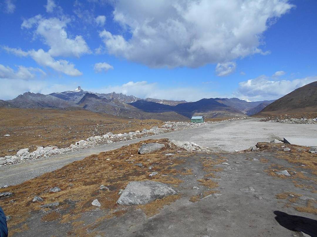
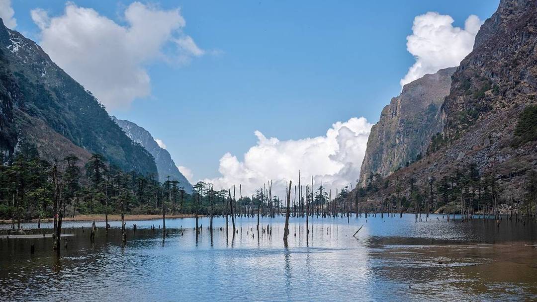
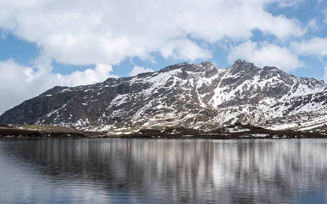
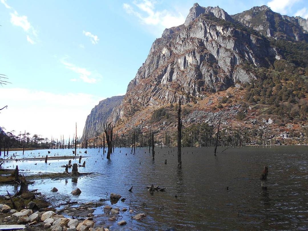
The mountains around Tawang and West Kameng offer some of the most spectacular — and least-trodden — high-altitude trekking in India, in the shadow of Gorichen (around 6,500 m), the highest peak in Arunachal Pradesh. High-altitude routes lead to glacial lakes, remote passes and Monpa summer pastures, through a landscape of yaks, prayer flags and snow peaks near the sensitive borders with Bhutan and Tibet.
These are serious treks and expeditions requiring special permits, an experienced local operator and proper acclimatisation, and access can depend on security clearances in this frontier zone. For strong, well-prepared trekkers, they open up a rarely-seen high Himalaya, best organised through Tawang- or Dirang-based specialists.
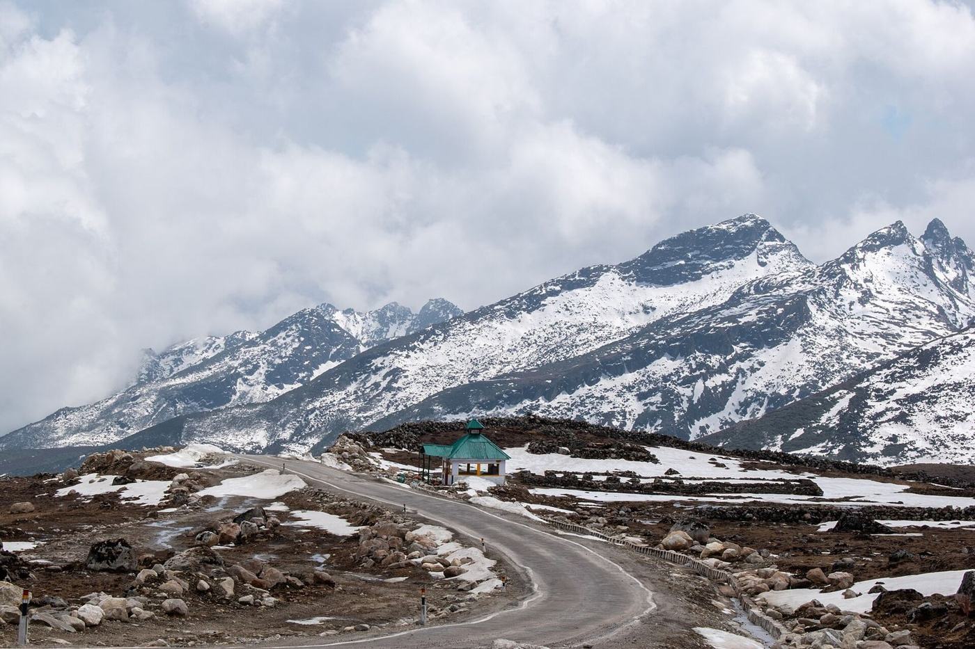
The trek at a glance
Why trek Gorichen & the Tawang high routes
- High routes beneath Gorichen, Arunachal's tallest peak
- Glacial lakes, passes and Monpa pastures
- A remote frontier landscape near Bhutan and Tibet
- Serious high-altitude adventure with local experts
Tawang in 60 seconds: the road over Sela Pass, permits, best time
Getting there, when to go and what to know, in one minute. The photographs are real; the narration is an AI voice.
Gorichen & the Tawang high routes in photographs
Real photographs by travellers and local photographers. Tap any picture to see it larger.