Sohra (Cherrapunji)
Waterfalls, caves and some of the heaviest rain on earth
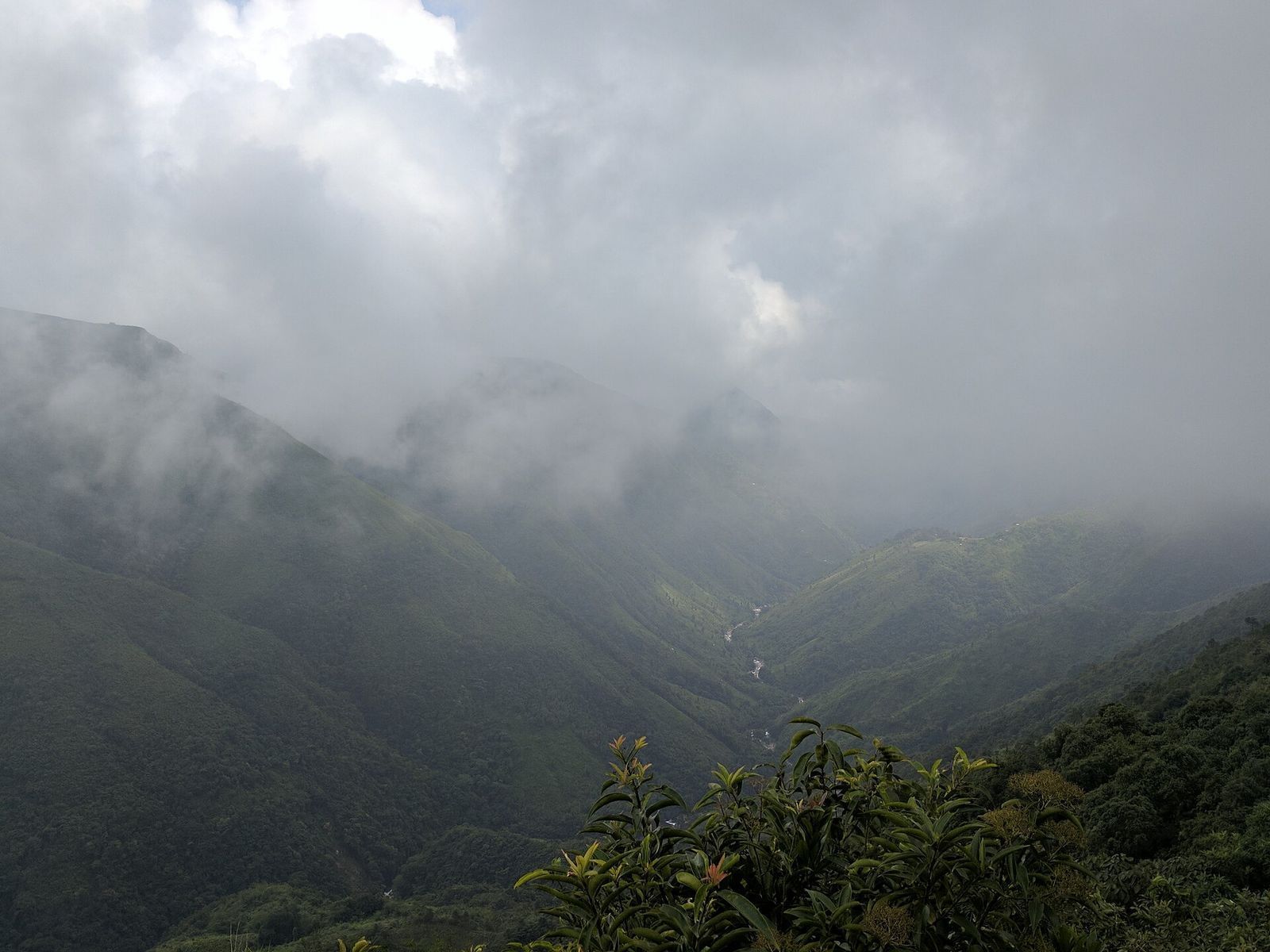
Sohra, better known by its colonial name Cherrapunji, sits on a plateau that plunges in dramatic cliffs towards the plains of Bangladesh, and holds among the highest annual rainfall recorded anywhere on the planet. That rain feeds a landscape of spectacular waterfalls, limestone caves and green canyons that is the heart of any Meghalaya trip.
The star is Nohkalikai, India's tallest plunge waterfall, dropping in a single ribbon into a turquoise pool far below. Around it lie the Seven Sisters (Nohsngithiang) falls, the show caves of Mawsmai and Arwah, the Khasi monoliths, and the trailheads for the living root bridges. In autumn and winter the clouds lift to reveal enormous views; in the monsoon it is wrapped in mist and roaring water.
What to see & do
- Nohkalikai Falls, India's highest plunge waterfall
- Mawsmai and Arwah limestone caves
- The Seven Sisters (Nohsngithiang) falls
- The Nongriat root-bridge trailhead and the Bangladesh-plains viewpoints
Getting to Sohra (Cherrapunji)
| How to reach | About 2.5 hours from Shillong by road; an easy day trip or overnight. |
| Best time | October to April for clear views; the monsoon for full-force waterfalls and mist. |
| Permit | No permit for Meghalaya. |
| Good to know | Stay a night in Sohra to catch the falls in morning light before the cloud builds, and to start the root-bridge trek early. |
More to explore
Living Root Bridges
Nongriat & the Khasi/Jaintia hills
Bridges grown, not built, over generations.
Dawki & the Umngot River
West Jaintia Hills, Bangladesh border
Boats that seem to float on air over glass-clear water.
Mawlynnong
East Khasi Hills
Asia's cleanest village, and a window into Khasi life.