Dirang & Bomdila
Apple orchards, hot springs and gompas on the Tawang road
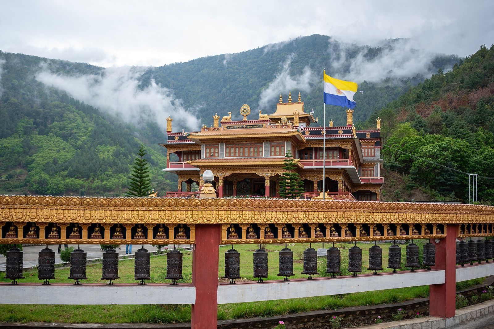
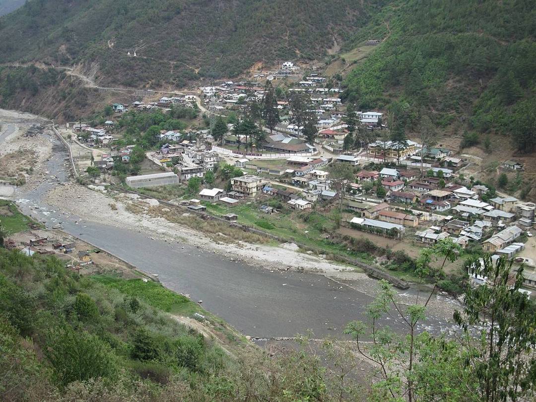
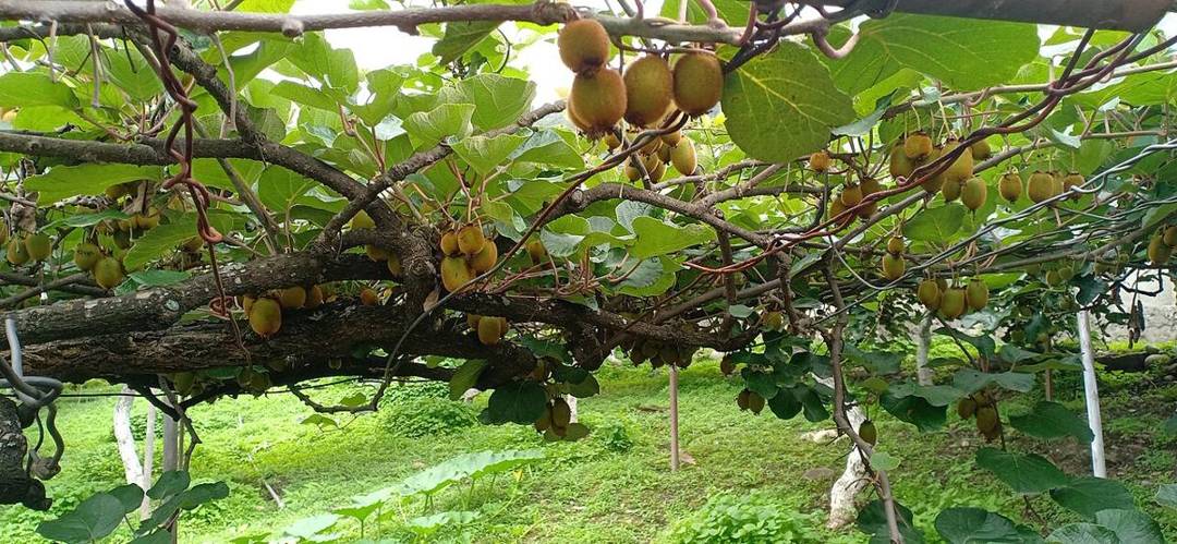
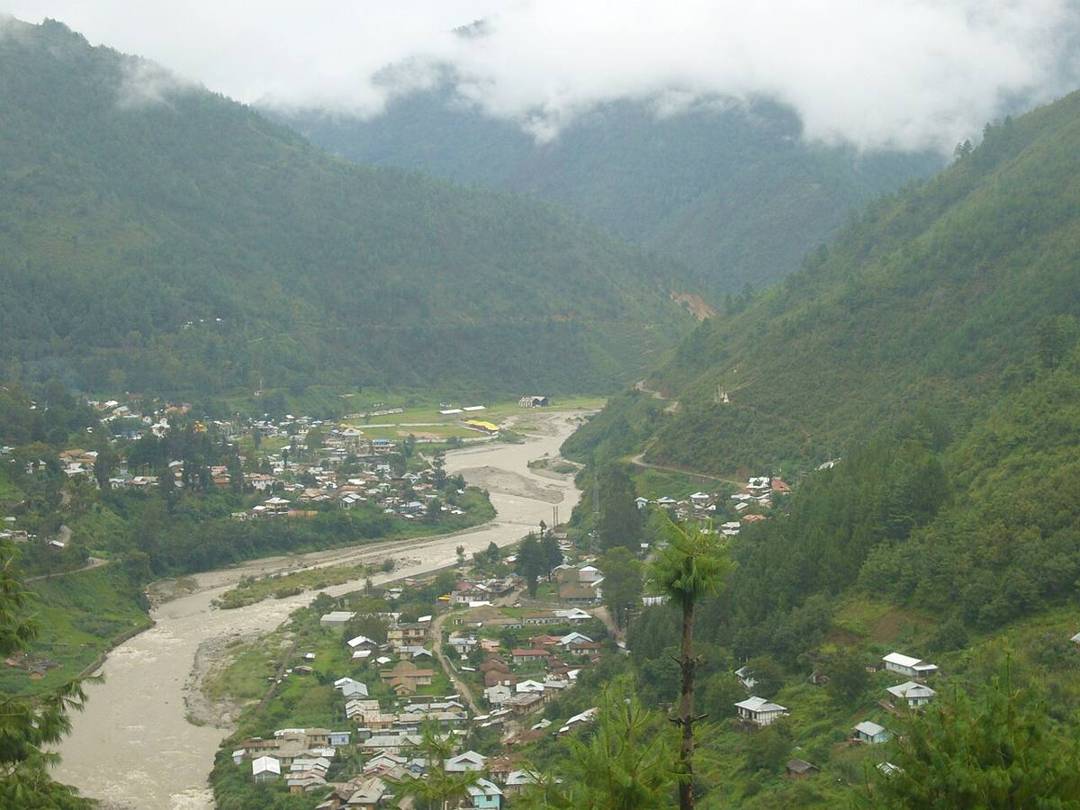
The twin hill towns of Bomdila and Dirang are the natural overnight stops on the two-day drive up to Tawang, and destinations in their own right. Bomdila, higher and cooler, has a large Gelugpa monastery and craft centre with views across the Kameng valley to the eastern Himalaya. Dirang, lower and milder, is apple-and-kiwi country, with hot springs, a centuries-old fortified village (the Dirang Dzong), and a national yak research centre nearby.
This is Monpa heartland — a gentle landscape of orchards, terraced fields, stone-and-timber villages and quiet monasteries that many travellers enjoy more than Tawang itself. Breaking the journey here for a night eases the altitude gain and lets you slow down among some of Arunachal's most welcoming communities.
What to see & do
- Bomdila monastery and the craft centre, with valley views
- Dirang's hot springs and the old fortified Dzong village
- Apple and kiwi orchards, and the yak research centre
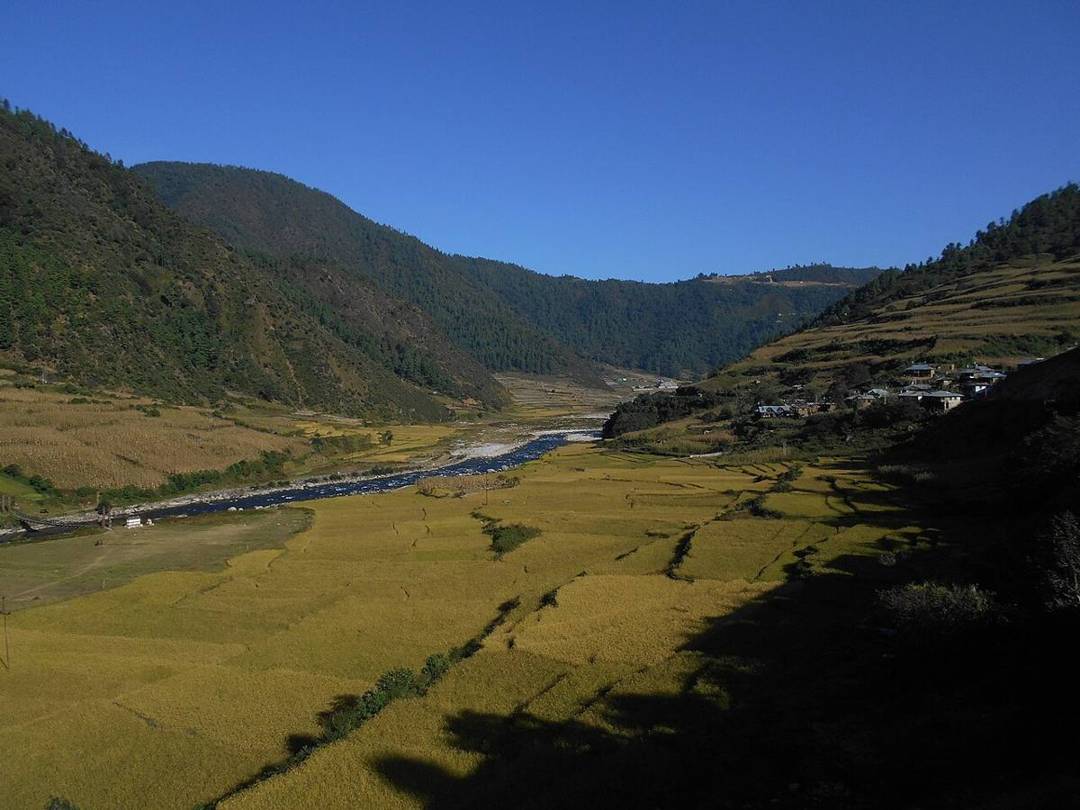
- Sangti valley, a serene side trip and winter home of black-necked cranes
Getting to Dirang & Bomdila
| How to reach | On the Bhalukpong–Tawang road, roughly 6–8 hours from Tezpur/Guwahati; the standard first night on the Tawang route. |
| Best time | March to May and October to November. |
| Permit | Inner Line Permit (Indians) or Protected Area Permit (foreigners) required. |
| Good to know | Spend the night in Dirang rather than pushing on — it aids acclimatisation and the Sangti valley is worth a morning. |
Dirang in 60 seconds: the first night on the road to Tawang
Getting there, when to go and what to know, in one minute. The photographs are real; the narration is an AI voice.
Getting there, step by step
Tezpur → Bhalukpong → Bomdila → Dirang (≈200 km, 6–7 hrs); Dirang → Tawang ≈140 km over Sela Pass
Dirang sits in a warm river valley at about 1,500 metres and is the usual first-night stop on the two-day road from Assam to Tawang. From Tezpur it is roughly 200 km, six to seven hours: across the Inner Line at Bhalukpong, where permits are checked, up the Kameng gorge and over the ridge at Bomdila.
Give it a day if you can. The old stone Dirang Dzong, the hot spring by the river, the yak research centre on the Mandala road, and Sangti valley, where black-necked cranes spend the winter from about November to February, are all close by.
From Dirang the road climbs to Sela Pass at 4,170 metres and the tunnel beneath it, then drops to Jang and rises again to Tawang: about 140 km and five to six hours.
⚠️ Precautions & a smooth trip
- Permit: carry your Arunachal Inner Line Permit (Indian visitors) or Protected Area Permit (foreigners); it is checked at Bhalukpong.
- Road: check for blockades and landslides before leaving Assam, and start early; the stretch beyond Bomdila is slow.
- Altitude: Dirang is a good height to sleep at before Sela; drink plenty of water and take the pass slowly.
- Cold: winter nights are near freezing in Dirang and well below on Sela.
Where to base yourself for Dirang & Bomdila
Dirang town
Hotels and guesthouses along the highway and the river.
Sangti valley
Farm homestays in a quiet side valley, at their best in crane season.
Bomdila
An alternative first night, higher and colder, with monasteries and long views.
Hotel names are well-known examples to help you get your bearings — not bookings or paid recommendations. Always check current availability, prices and recent reviews before you book.
Dirang & Bomdila in photographs
Real photographs by travellers and local photographers. Tap any picture to see it larger.
More to explore
Ziro Valley
Apatani plateau, Lower Subansiri
The Apatani rice-and-fish valley, and India's finest music festival.
Sela Pass & Madhuri Lake
on the road to Tawang
A high Himalayan gateway of lakes and snow.
Namdapha National Park
Changlang, the far east
India's wildest rainforest, home to four big cats.